Code
N02
Year of Issue
none
Sector
Hydro Morphology
The complete description of the NWRM
| Attachment | Size |
|---|---|
| n2_-_wetland_restoration_and_management.pdf | 865.82 KB |
Summary
Illustration(s)
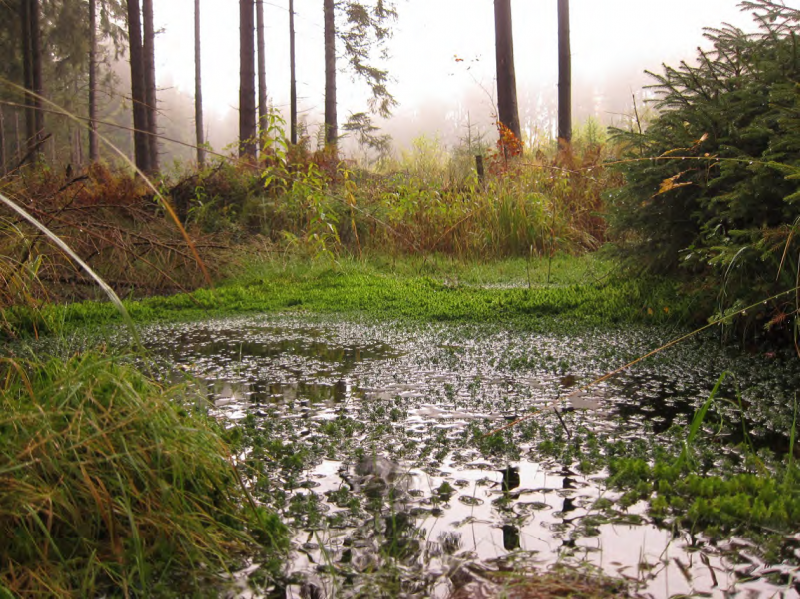
Wetland in a forest
Source: Gebhard Schueler’s presentation, NWRM Workshop 1
Benefit Table
Possible benefits with level
| Benefits | Level | |
|---|---|---|
|
BP1 - Store runoff
|
High
|
|
|
BP2 - Slow runoff
|
High
|
|
|
BP3 - Store river water
|
Medium
|
|
|
BP4 - Slow river water
|
Medium
|
|
|
BP6 - Increase infiltration and/or groundwater recharge
|
Medium
|
|
|
BP7 - Increase soil water retention
|
Medium
|
|
|
BP9 - Intercept pollution pathways
|
Medium
|
|
|
BP10 - Reduce erosion and/or sediment delivery
|
Low
|
|
|
BP11 - Improve soils
|
Low
|
|
|
BP12 - Create aquatic habitat
|
High
|
|
|
BP13 - Create riparian habitat
|
High
|
|
|
BP14 - Create terrestrial habitats
|
Low
|
|
|
BP17 - Absorb and/or retain CO2
|
High
|
|
|
PO1 - Improving status of biology quality elements
|
High
|
|
|
PO2 - Improving status of physico-chemical quality elements
|
Medium
|
|
|
PO3 - Improving status of hydromorphology quality elements
|
Low
|
|
|
PO5 - Improving quantitative status
|
Medium
|
|
|
PO7 - Prevent surface water status deterioration
|
Medium
|
|
|
PO8 - Prevent groundwater status deterioration
|
Medium
|
|
|
PO9 - Take adequate and co-ordinated measures to reduce flood risks
|
Medium
|
|
|
PO10 - Protection of important habitats
|
High
|
|
|
PO11 - Better protection for ecosystems and more use of Green Infrastructure
|
High
|
|
|
PO12 - More sustainable agriculture and forestry
|
Low
|
|
|
PO13 - Better management of fish stocks
|
High
|
|
|
PO14 - Prevention of biodiversity loss
|
High
|
|
|
ES1 - Water storage
|
Medium
|
|
|
ES2 - Fish stocks and recruiting
|
High
|
|
|
ES3 - Natural biomass production
|
Medium
|
|
|
ES4 - Biodiversity preservation
|
High
|
|
|
ES5 - Climate change adaptation and mitigation
|
Medium
|
|
|
ES6 - Groundwater/aquifer recharge
|
Medium
|
|
|
ES7 - Flood risk reduction
|
Medium
|
|
|
ES8 - Erosion/sediment control
|
Low
|
|
|
ES9 - Filtration of pollutants
|
Medium
|
|
|
ES10 - Recreational opportunities
|
Medium
|
|
|
ES11 - Aesthetic/cultural value
|
Medium
|
Case study(ies)